The City Plan is a translation of the existing planning scheme into the format now mandated by the State’s planning framework. It carries forward the existing policy intent of the current planning scheme for the SMBI. Draft City Plan and submission review outcomes for the SMBI include.
- All SMBI development, whether it be a dwelling house, dual occupancy or small-scale non-residential use is subject to meeting the on-site effluent disposal requirements as part of a plumbing and drainage application.
- Both the current planning scheme and proposed City Plan discourage further subdivision by making it impact assessable and identifying clear and consistent performance outcomes which do not support further subdivision of lots.
- Due to the separation of the SMBI to mainland goods and services, A new Character Residential zone has been introduced for SMBI, recognising a wider range of land uses envisaged by the SMBI 2030 Plan.
- Promoting on-island economic growth through broader range of uses and reduced levels of assessment in the Character Residential zone.
- The Character Residential zone on the Southern Moreton Bay Islands, provides flexibility to establish a limited range of additional small scale non-residential commercial uses which provide services to the local community or tourists, provided they do not significantly detract from residential amenity or the role of any centre and which are subject to code, not self-assessment
- The relevant assessment criteria for these uses specifies that they be small in scale, not adversely impact upon the island’s centres and meet the relevant on-site car parking benchmarks in the planning scheme.
- In response to submissions regarding preserving residential amenity, Council has increased the level of assessment to impact for three non-residential uses as well as two higher order residential uses.
- The passenger ferry terminal at 2 Brighton Road, Macleay Island, is zoned Community Facilities (CF9 – passenger ferry terminals) reflecting current use.
- Land bound by Kate Street, Nunkeri Drive and Wandoo Avenue, Macleay Island, is split zoned Low Impact Industry and Recreation and Open Space. Currently the site has a split zoning for Industry, Open Space and Community Use (infrastructure).
- A number of Council parks and reserves have changed zone to Conservation, Open Space and Recreation or Community Facilities, to reflect existing uses.
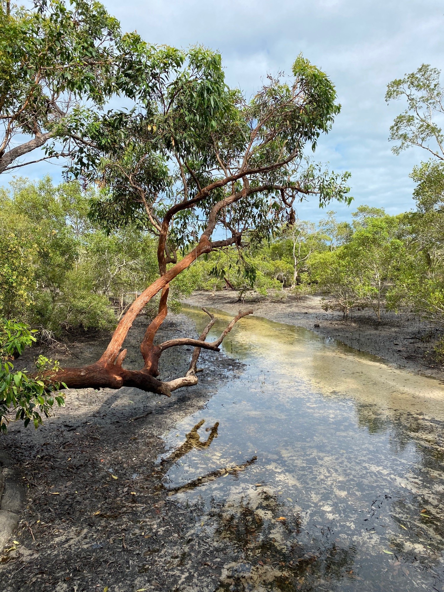
- A new Environmental Significance overlay incorporates the latest State data as well as locally refined regional ecosystem mapping of remnant and regrowth vegetation providing habitat for native fauna. Together with the Waterway Corridors and Wetlands mapping, these overlays map significant natural values which underpin maintenance of healthy ecosystems.
- New bushfire hazard mapping shows changes in the level of risk within the division. Land affected by the Bushfire overlay is declared a hazard area for the purposes of section 12 of the Building Regulation which provides siting and design information.
- New storm-tide hazard mapping which incorporates changes associated with climate change has refined the Flood and Storm Tide Hazard overlay and applies to land with potential to be affected by storm-tide inundation along foreshore areas. Development on land within the overlay must mitigate exposure to risk to an acceptable or tolerable level.
- New erosion-prone area hazard mapping by the State Government has updated the Coastal Protection (Erosion Prone Areas) overlay. Development for a dwelling house, dual occupancy or community residence on affected land is code assessable.